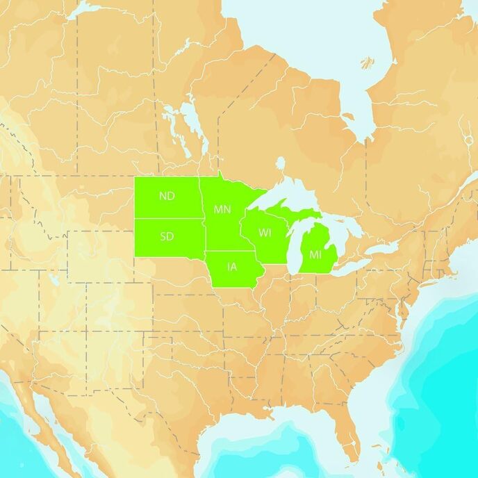
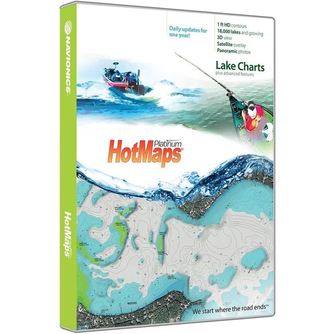

Navionics HotMaps Platinum HMPT-N6: Pohjois-USA
EAN: 0984556262498
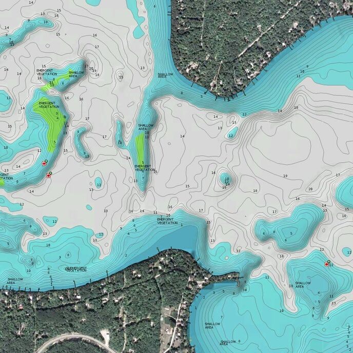
Luokat Urheilu & Ulkoilu, Metsästys & kalastus, Kalastus, Taulukot ja kartat,
| Brand Name | Navionics |
| Customer Reviews | 4.0 4.0 out of 5 stars 51 ratings 4.0 out of 5 stars |
| Fishing Technique | Spinning, Casting |
| Included Components | adapter, Media Card |
| Item Dimensions LxWxH | 5.6 x 0.6 x 7.5 inches |
| Item Package Dimensions L x W x H | 8.5 x 5.5 x 1.2 inches |
| Item Weight | 0.25 Pounds |
| Manufacturer | Dead Ringer |
| Material | Other |
| Model Name | NAVIONICS HMPT-N6: HOTMAPS PLATINM NORTH |
| Number of Items | 1 |
| Package Weight | 0.6 Pounds |
| Part Number | MSD/HMPT-N6 |
| Size | One Size |
| Sport Type | Boating |
| Suggested Users | unisex-adult |