0
0

Topspot N209 -kartta - Lower Key AreaKey West - Rebecca Shoal LORAN-C &

Brand:Topspot

3.8/5

60.72

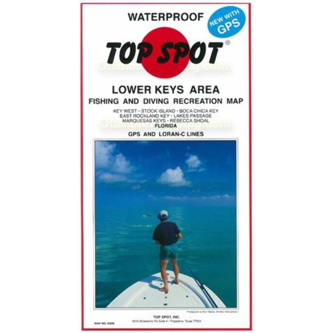
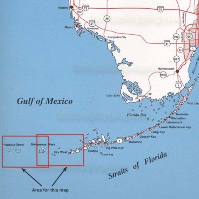
Tämä kartta sopii täydellisesti tyypilliselle ulkoilumiehelle. Key Westin huippukohteiden kartta Rebecca Shoalille.

Alkuperämaa: Yhdysvallat. Ilmaisee pyydetyt suolaisen veden kalatyypit, vuoden parhaat kalastuskuukaudet ja vedenalaisen rakenteen. Sisältää GPS-koordinaatit kuumille kalastuspaikoille, venerampeille, venesatamille ja muille kiinnostaville kohteille. Vedenpitävä ja repeytymätön.
Brand Name ‎Topspot
Customer Reviews 4.8 4.8 out of 5 stars 45 ratings 4.8 out of 5 stars
Included Components ‎Fishing and recreation map
Item Dimensions LxWxH ‎13 x 7 x 0.13 inches
Item Package Dimensions L x W x H ‎12.8 x 7 x 0.6 inches
Item Weight ‎0.25 Pounds
Manufacturer ‎Top Spot
Number of Items ‎1
Package Weight ‎0.25 Pounds
Part Number ‎N209

3.8

8 Review
5 Star
83
4 Star
11
3 Star
6
2 Star
0
1 Star
0

Kirjoita arvostelusi

Sähköpostiasi ei julkaista. Kaikki pakolliset kentät on merkitty*

Scritto da: Denise Drellich
One of the best maps
Does the job
Scritto da: GM
Four Stars
helped me find TUNA!
Scritto da: J. Brown
Great
Nice map
Scritto da: TDE
A Must have for boaters
Very informative great stuff here!Sows all areas of interest, how deep,sunken islands ,where the best fishing spots are etc
Scritto da: Amazon Customer
Five Stars
Lots of info and will put you on the fish!
Scritto da: Cameo
Worth the cost.
A.ways reliable!
Scritto da: Amazon Customer
Five Stars
nice chart
Scritto da: Barbara, RN, BSN
Five Stars
excellent product

Liittyvät tuotteet

Tutustu kansainväliseen verkostoomme

Toimitamme 28 maahan, yli 200 000 tuotetta. Pysy ajan tasalla, tilaa uutiskirje.

Array